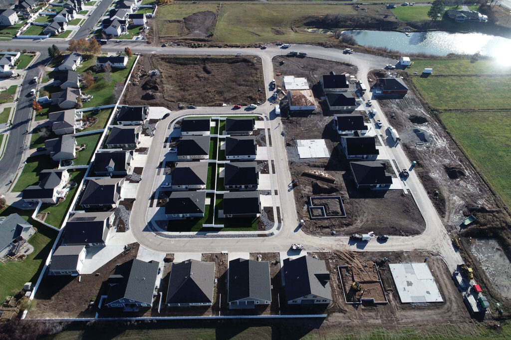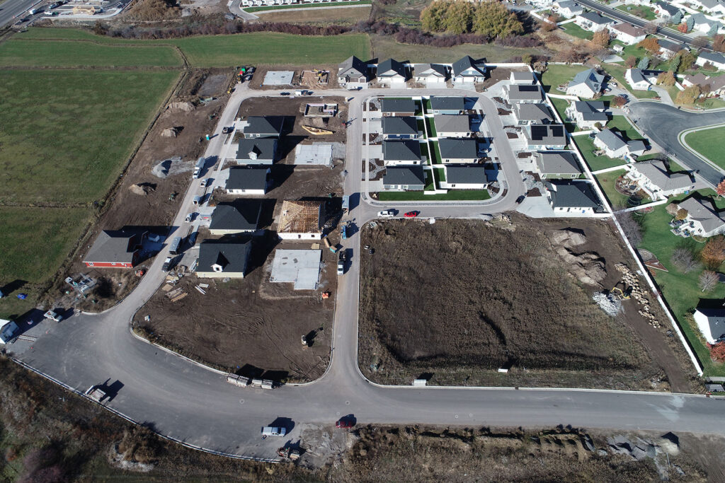
AERIAL MAPPING
We are capable of efficiently producing topographical maps of large areas by utilizing drones equipped with a LiDAR scanner and/or a high-quality camera capable of producing high-resolution photogrammetry data.
By using a LiDAR scanner, we can cut through dense vegetation to accurately map the topography below.